Essentials
$175
10 edited aerial photos
- 10 edited aerial photos
- MLS-ready files
- 48-hour turnaround
Real estate
Aerial photos and video that sell the whole property: the lot, the roofline, the neighborhood and the view. MLS-ready in 48 hours, flown by a licensed and insured pilot.
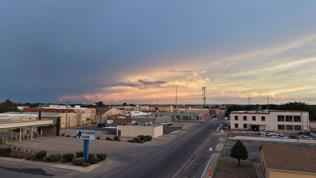
Buyers in Eddy County want context: how big the lot really is, what is next door, how close it is to the Pecos River, the Riverwalk or town. Ground photos cannot show that. A few well-composed aerial shots can.
The Showcase and Photo + Video packages include lot-line and property annotations, so buyers can see boundaries and key features at a glance. They are useful for acreage, corner lots and homes with shops, pools or outbuildings.
Large parcels and ranch properties across Eddy County are quoted individually. Properties over 10 acres add $50 to a standard package.
Browse recent aerial photos and video from around Carlsbad in the drone photography portfolio.
$175
10 edited aerial photos
$225
15 aerial photos with lot-line and property annotations
Most complete
$375
15 aerial photos plus a 60–90 second edited aerial video
10% off every shoot for agents who book 5 or more listings a month.
Every package includes MLS-ready files delivered within 48 hours. Need it faster? Add 24-hour rush delivery.
Why hire a licensed pilot?
The FAA requires a Part 107 remote pilot certificate for any drone flight that furthers a business or job, whether or not anyone is paid. That includes a real estate agent filming their own listing.
If an agent or brokerage hires an uncertified, uninsured operator, they can share the liability when something goes wrong, and their own insurance may not cover it.
Call or text Joshua to book a shoot or get a quick quote anywhere in Carlsbad, Artesia and Eddy County.