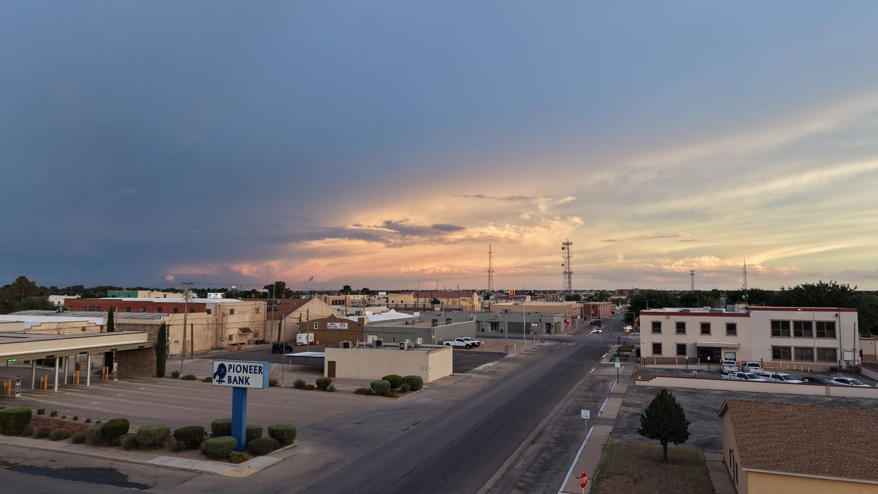
Commercial
Construction and oilfield drone progress photos in Eddy County
Consistent, repeatable aerial photos and video that show stakeholders exactly how a job site is moving. Visual only, licensed, insured and quoted to your schedule.
Visual progress documentation
Recurring aerial photos from the same angles make it easy to compare progress week to week or month to month, for owners, lenders, project managers and marketing teams.
- Commercial and residential construction progress
- Pads, facilities and site work around Carlsbad and Artesia
- Before-and-after photos for contractors' portfolios
- Aerial video for project updates and company marketing
See a commercial roof and property overview and other recent work in the portfolio.
What is and is not included
This is visual photography and video only. Carlsbad Drone does not offer thermal imaging, LiDAR, or survey-grade mapping. If your project needs those, a specialized mapping provider is the right fit.
Safety and paperwork
Commercial and oil and gas clients often require proof of coverage. A certificate of insurance is available on request, and every flight is flown under FAA Part 107 by a certified remote pilot, with airspace authorization through LAANC or FAA DroneZone when needed. Site safety rules and check-in procedures are followed on every visit.
Why hire a licensed pilot?
Licensed, insured, and it protects you, too
The FAA requires a Part 107 remote pilot certificate for any drone flight that furthers a business or job, whether or not anyone is paid. That includes a real estate agent filming their own listing.
If an agent or brokerage hires an uncertified, uninsured operator, they can share the liability when something goes wrong, and their own insurance may not cover it.
- FAA Part 107 certified remote pilot (Part 107 Cert #5324367). Legal to fly for real estate, business and commercial work.
- Fully insured. A certificate of insurance is available on request for your brokerage or client.
- Real penalties for skipping it. FAA civil penalties run up to $17,062 per violation for individuals and small businesses, and up to $75,000 for other businesses.[source]
- Airspace authorization handled. When a property sits in controlled airspace, I request FAA authorization through LAANC or FAA DroneZone before the flight.
Need regular progress shots?
Call or text Joshua to book a shoot or get a quick quote anywhere in Carlsbad, Artesia and Eddy County.